The ArcGIS integrated, multidepartmental platform from Esri helps operators manage, plan, analyze, map, monitor and communicate from one complete technology platform. It allows operators to visualize information in the form of interactive, web-based maps, reports and charts. They can share select data with staff and stakeholders, analyze it for planning, maintenance and compliance, and integrate data with other systems. 800/447-9778; www.esri.com.
Software - Integrated management platform
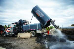
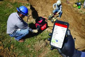
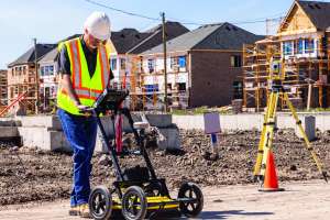
The ability to quickly and efficiently locate a blockage or damage in a municipal water or sewer pipeline can save utilities and taxpayers substantial sums. This selection of inspection camera systems, leak detection equipment, data recorders and software programs can help municipalities and contractors stay ahead of potential problems.