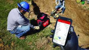
Software helps create bore plan to keep directional drilling project on track
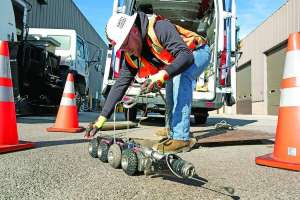
Problem: Two hundred feet from Florida’s Turnpike, the K3 Directional Drilling team and their Vermeer D100x140 Navigator horizontal directional drill bored under the roadway 30 times across a 6-mile area on a utility expansion project for The Villages near Leesburg and Wildwood, Florida. They needed a way to visualize the work being done.
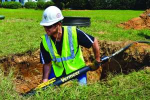
Solution: The company used Vermeer Projects to recreate a bore for each drill shot. The process involved walking the path using a tablet loaded with Vermeer Projects and a GPS device. Utilities and other obstacles were marked, and depth information was inputted to create a bore plan on the fly. The crew’s starting elevation was around 10 feet higher than the turnpike. Within that first 200 feet, bores needed to be 30 feet below the roadway. The terrain on the other side of the road was also lower and needed to be accounted for. Then, many of the bores crossed underneath a 36-inch gas distribution with a clearance of 10 feet before exiting into a 2-foot pit 40 feet from the distribution line.
Result: Bore planning technology saved the crew time and provided a roadmap for the drill operator. 352-728-2222; www.vermeer.com