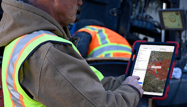
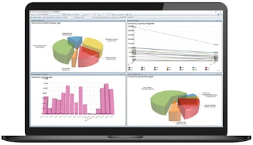
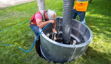
WinCan software is designed to collect detailed, standards-compliant inspection data. It identifies trends, pinpoints hot spots, prioritizes maintenance and helps forecast budgets. Its broad range of reporting and data visualization lets users drill down to the insight they need. Users can integrate with the GIS mapping system of choice or use WinCan’s own mapping tools for increased capabilities. WinCan works with all brands of sewer inspection technology — including crawlers, zoom cameras and push cameras — as well as all major applications of side scanning, laser profiling, manhole scanning and other emerging technologies, and it integrates with more municipal asset management applications than any other sewer software. Its modular design helps expand capability as needs evolve. Add-on modules support emerging technologies like side scanning, laser, sonar and 3D visualization.
877-626-8386; www.wincan.com
